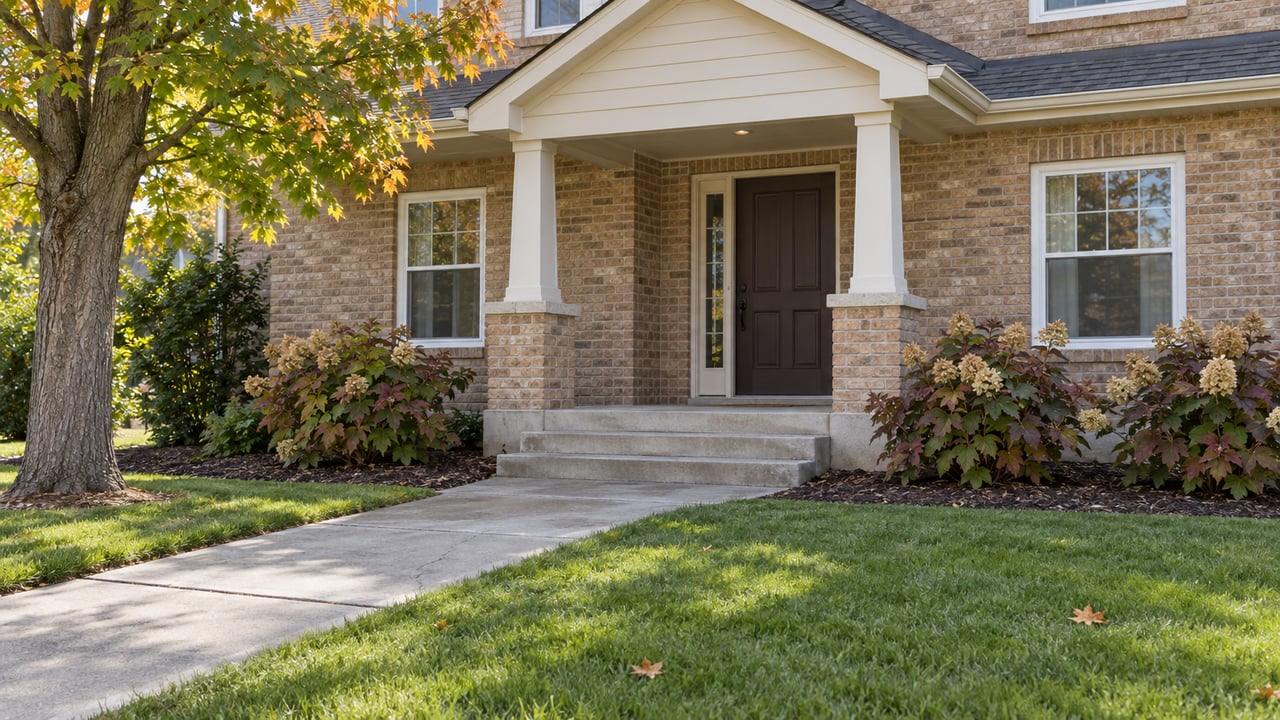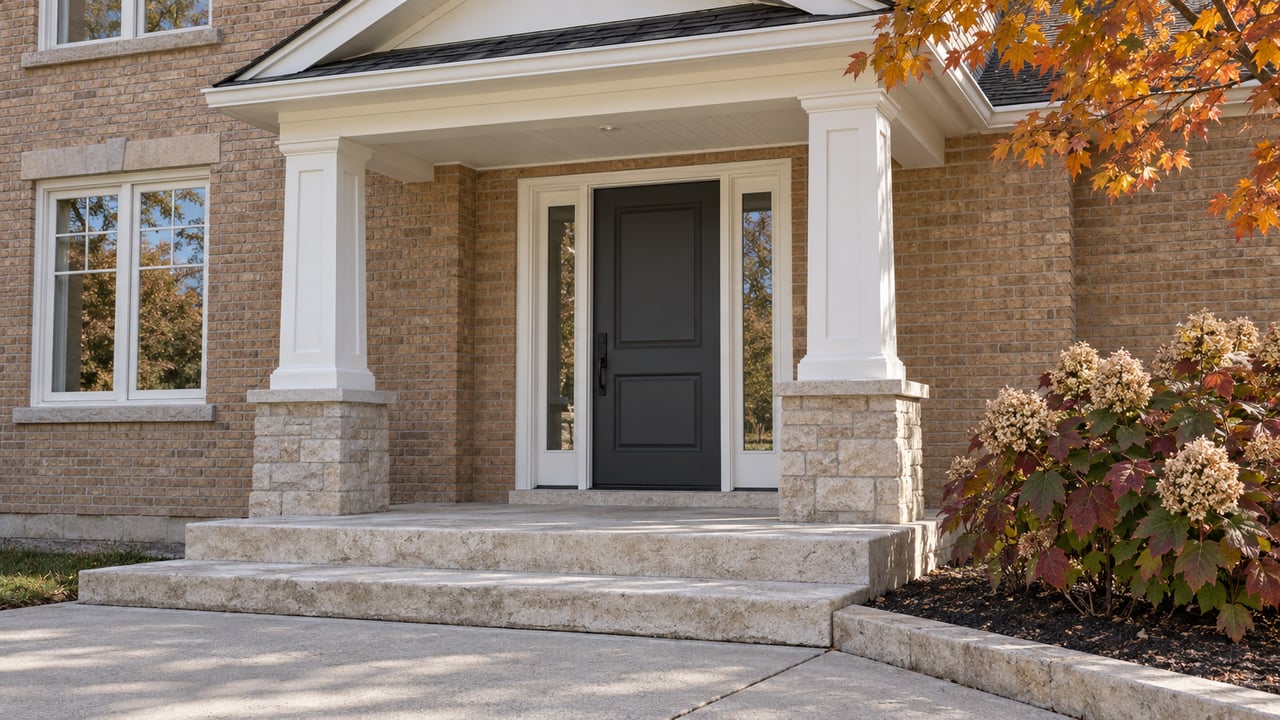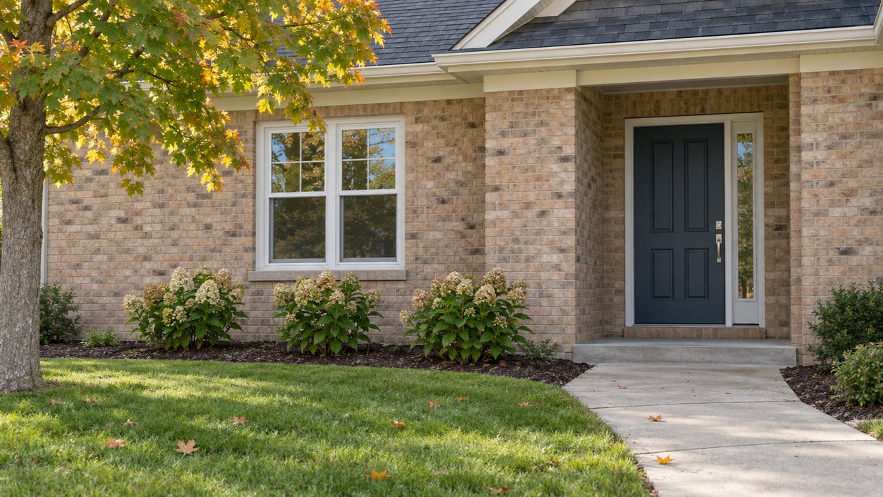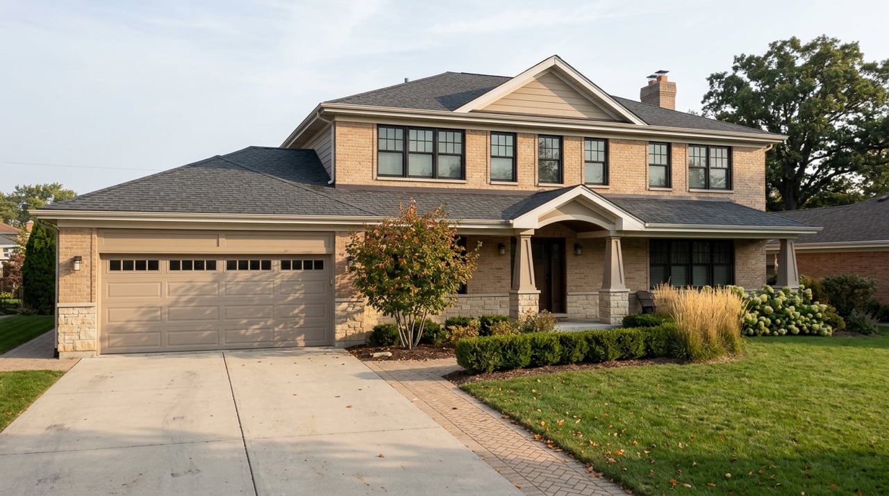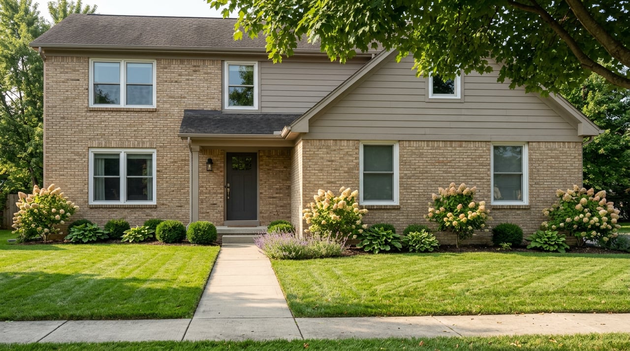
Walk from the residential streets north of downtown Ortonville toward Mill Street on a Saturday morning and you will hit a stretch of sidewalk that simply stops. Not construction, not a detour sign. It just ends, and picks back up on the other side of an awkward pinch point in front of the Old Mill Museum. Most residents route around it without a second thought. It has been part of the walk to the farmers market for as long as anyone can remember.
That gap is about to close, and the way it is closing tells you something about how small-town infrastructure money actually works that a bigger city's version of the same project does not.
A $60,000 Grant, Five Winners, One from Michigan
In early August, the Ortonville Downtown Development Authority announced it had been selected as one of only five recipients nationwide to receive a GM on Main Street Grant, a $60,000 award jointly funded by General Motors and Main Street America. The program exists to fund road safety and walkability projects in commercial districts, and this year's list of winners puts Ortonville in company it does not usually keep:
- City of San Luis, Arizona
- City of Montclair, California
- GObike, Buffalo, New York
- City of Toledo, Ohio
- Village of Ortonville, Michigan
Three cities, one nonprofit, and one village. The program has awarded a little over a million dollars to 21 organizations since it launched in 2023, and this year Ortonville, a village whose downtown you can walk end to end in about ten minutes, is the only Michigan winner on a list otherwise made up of city governments and a regional bike nonprofit.
The money is going toward what the DDA calls the Old Mill Historic Gateway Initiative. In plain terms, it realigns the sidewalk in front of the Old Mill Museum and closes a nearly 200-foot gap in the pedestrian network between the village's largest residential neighborhood and its downtown. The result is a continuous, ADA-compliant walking route with a clearer roadway edge, which means better sightlines for drivers and one less spot where a walker has to step onto Mill Street to get around a blind corner.
Same $60,000, Very Different Job
Here is the part that is easy to miss if you only read the headline. Toledo's grant is funding the same dollar amount, but the project looks nothing alike. The City of Toledo is using its award to install temporary median islands, surface-mounted posts, and new pavement markings along a 2,100-foot stretch of North Summit Street in the Vistula neighborhood, converting a five-lane roadway down to two travel lanes with a center turn lane. That is a traffic-calming retrofit on a corridor built for a much bigger volume of cars than it now carries.
Ortonville's $60,000 is finishing a sidewalk. There is no road diet, no lane reduction, because there was never enough roadway to reduce. The fix is a gap closure, plain and specific: about 200 feet of missing concrete between where people already live and where they already walk on Saturdays.
That difference is the real story here. The same grant program, the same national pool of money, and two towns spent it on completely different scales of problem because the underlying geometry of each place is completely different. A five-lane arterial in a mid-size city and a residential cut-through in a village of a few thousand people are not the same kind of walkability problem, even when they get funded by the identical line item. If you have ever wondered why infrastructure dollars seem to stretch further in some towns than others, this is a clean answer. It is not that Ortonville got a better deal. It is that the deal fit the town.
What the Gap Has Been Costing the Village
The Old Mill Museum sits at 366 Mill Street, and it has been open for public tours on a regular schedule through the summer. It sits close enough to the farmers market, held every Saturday morning at 476 Mill Street, that the two have effectively functioned as one destination for years, market first, museum second, or the other way around depending on which line is shorter.
The DDA has been building toward this kind of fix for a while. Back in 2025, the village rolled out a multi-phase Wayfinding and Signage Plan aimed at making the walk from parking to shops to the museum easier to read for both first-time visitors and residents who already know the route by feel. The Old Mill Historic Gateway Initiative is the physical follow-through on that same idea, closing the one gap in the network that no amount of signage could fix, because a sign cannot tell you to walk through a spot where the sidewalk does not exist.
The grant announcement itself frames the ambition plainly. As the DDA put it, the goal is turning a longstanding safety concern into "a continuous, predictable, and welcoming route for everyone." That is a modest way of describing what amounts to the last structural fix needed to make the walk from the neighborhood to downtown genuinely uninterrupted.
The Rest of the Summer's Rhythm Around It
None of this is happening in isolation from the rest of what fills a downtown Ortonville weekend. Earlier this month, the Old Mill Historical Museum hosted the second annual Art at the Mill, a two-day juried show with live blacksmithing demonstrations, food trucks, and music, drawing a crowd to the exact stretch of sidewalk that is about to get fixed. The farmers market keeps its Saturday morning slot at 476 Mill Street through the season, with a Pet Day event on the calendar for August 29 that will bring even more foot traffic through that same corridor. Earlier in the year, the DDA ran its fourth annual Euchre Tournament as a fundraiser supporting the market's kids programming, a small reminder that most of what keeps downtown Ortonville active runs on volunteer energy and a fairly tight list of recurring events rather than a large tourism budget.
All of it converges on the same few hundred feet of Mill Street. That is exactly why the gateway gap mattered enough to fund. A sidewalk problem in a spot nobody visits is an inconvenience. A sidewalk problem at the one junction where the market, the museum, and the residential neighborhood all meet is a bottleneck that touches nearly every recurring event the village runs.
The Other Walking Network, a Few Miles Out
If Mill Street is where the village does its walking on Saturdays, Ortonville State Recreation Area is where it does its walking the rest of the week. The 5,400-acre park, known locally as Hadley Hills for its wooded, hilly terrain, sits just outside the village and includes the Bloomer Trails Loop, a 2.6-mile route with about 206 feet of elevation gain that ranks among the most-used trails in the park. The day-use area at Big Fish Lake adds a designated swim beach, picnic shelters, and a boat launch, giving residents a second kind of infrastructure entirely, unpaved, unfunded by a national grant, and maintained in large part by the volunteer-run Ortonville Recreation Equestrian Association.
It is worth holding both facts at once. Downtown Ortonville just won a competitive national grant to fix 200 feet of missing sidewalk. A few miles away, the state park has 12 miles of horseback trail and dozens of hiking routes that have existed for years without needing that kind of outside investment. The village's walkability problem was never about a shortage of places to walk. It was about one specific, narrow connector that happened to sit exactly where the town's daily routines pass through.
That is the kind of detail that only shows up if you have actually walked the route, which is the whole point of paying attention to a place before you ever think about buying or selling in it.
If you are watching Ortonville for reasons that go beyond this year's festival calendar, whether you already live here or you are weighing a move to Oakland County's north end, Sold by Emily tracks these local shifts as part of a broader read on how each neighborhood is changing. Schedule your free consultation to talk through what a village like Ortonville actually offers beyond the market data.